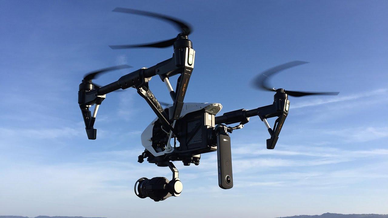
Aerial Imaging Photography Unlocks Unique Perspectives From Above

Applications in Agriculture
The agricultural sector has greatly benefited from modern aerial imaging technologies. Farmers can monitor crop health, detect disease and pest infestations, and assess soil conditions over wide areas with greater precision than before. Multispectral sensors reveal moisture levels, nitrogen deficiencies, and other stress factors not visible to the human eye. Thermal cameras detect temperature variations that may indicate irrigation issues or disease outbreaks. Plot boundaries, field equipment, and other infrastructure are mapped accurately with aerial lidar surveys. By analyzing periodic aerial surveys over a growing season, precision agriculture experts can prescribe variable rate treatments tailored to field conditions. Crop yields can be estimated from high resolution imagery. The resulting data drives improved efficiency, productivity, and sustainability in agriculture operations worldwide.
Infrastructure Inspection and Monitoring
Aerial Imaging plays a crucial role in infrastructure inspection and monitoring programs worldwide. Road and bridge conditions are systematically surveyed with cameras, lidar, and thermal sensors flown above. Cracks, corrosion, subsidence and other defects are detected before becoming dangerous failures. Utility and pipeline rights-of-way, cell towers, power lines, and other assets are regularly patrolled. Coastline erosion, reservoirs, levees, and other civil structures are monitored for changes over time. After natural disasters like hurricanes, earthquakes or floods, aerial surveys provide a rapid initial damage assessment across wide swaths of impacted territory. The resulting geospatial data helps prioritize response and recovery efforts more effectively. Regular aerial inspections keep critical infrastructure performing safely and help target maintenance budgets more cost-effectively.
Environmental Monitoring
Aerial sensors also contribute significantly to global environmental monitoring programs. Satellite imagery provides broad coverage but at relatively coarse resolution, while aircraft and drones can capture ultra-high resolution data over specific regions. Coastlines, forests, rangelands, and other wild areas are surveyed for changes like deforestation, wildfires, erosion, and ecological health indicators. Coral reefs, benthic habitats, algal blooms and other aquatic features are regularly imaged from above. Pollution plumes, illegal dumping sites, and other environmental issues are more readily detected. Thermal cameras help locate wildlife, while multispectral sensors map vegetation species in fine detail. Combined with GPS, aerial videography documents environmental conditions over time to assess impacts of climate change, development, and conservation efforts. The resulting data fuels scientific research, compliance monitoring, ecosystem restoration and more sustainable land management globally.
Get more insights, On Aerial Imaging
- Art
- Causes
- Crafts
- Dance
- Drinks
- Film
- Fitness
- Food
- Games
- Gardening
- Health
- Home
- Literature
- Music
- Networking
- Other
- Party
- Religion
- Shopping
- Sports
- Theater
- Wellness
- IT, Cloud, Software and Technology


