How Deep Can One Delve Into Studying And Designing Wooden Maps?

How Deep Can One Delve Into Studying And Designing Wooden Maps?
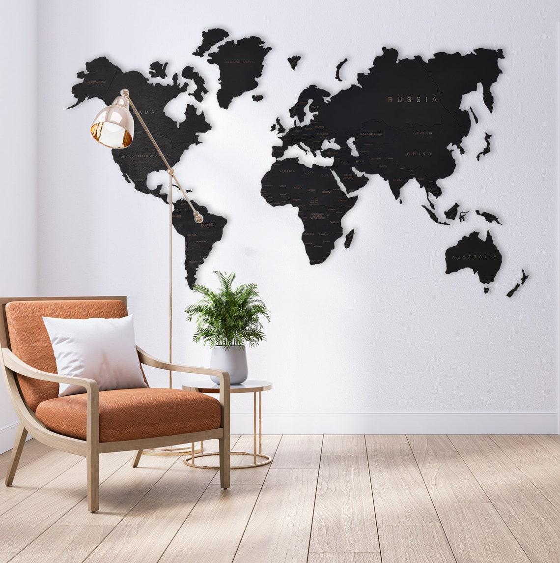
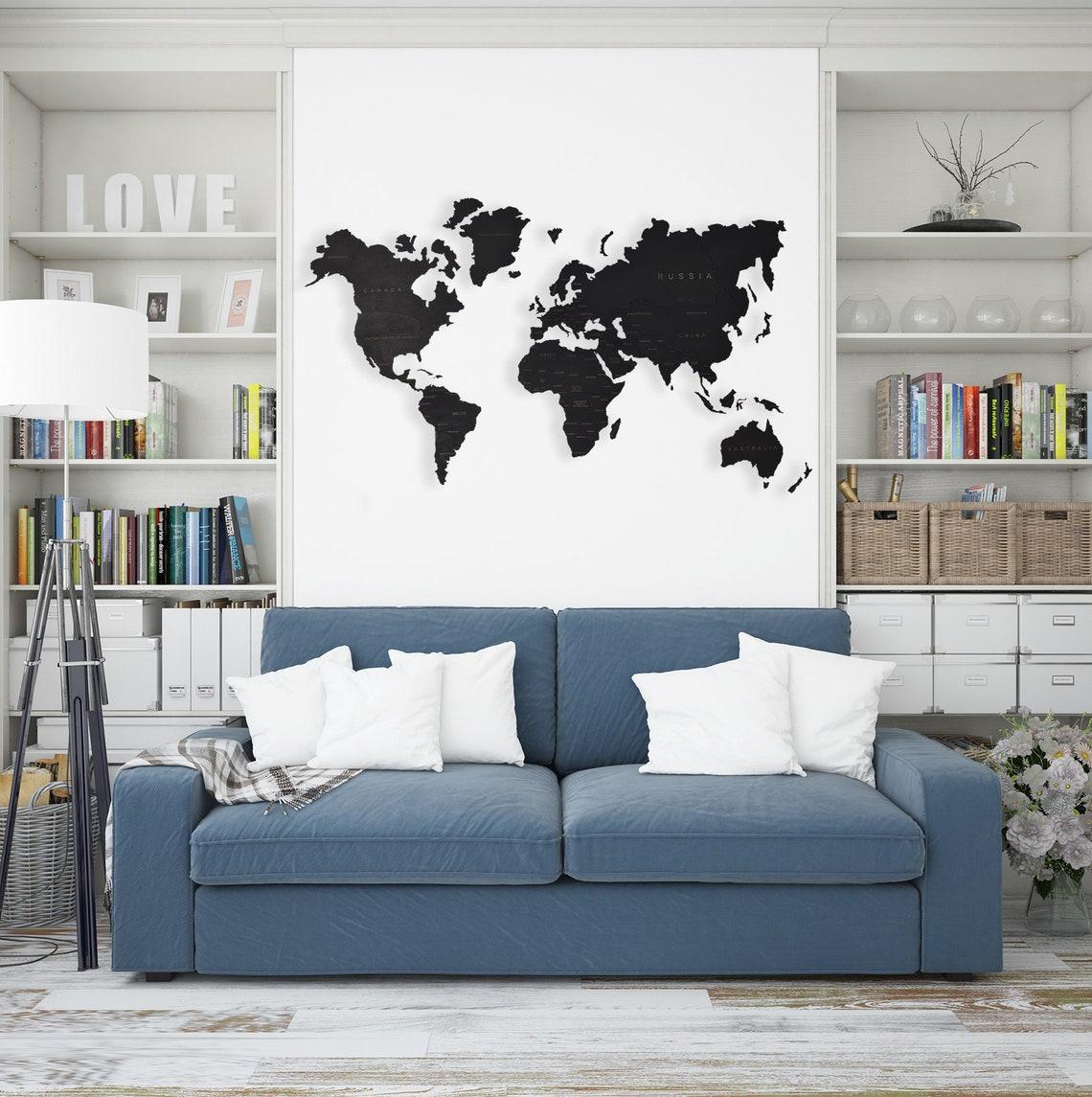
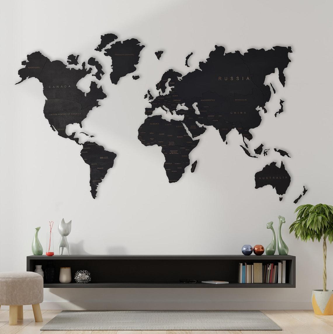
The wooden maps are themselves a piece of art that can never stop leaving a remarkable impact on the viewer. The attraction of stained woodcraft can be long-lived when the travel enthusiast in you craves the best custom map to enliven your wall. But sometimes there is much more to it than just displaying the wooden world map; it is the deep research that you want to put into the whole process of buying one and using it as a keepsake.
How Is Every Wooden Continents Map Created?
There are cartographers and artists who spend their energy and time designing and making accurate wooden maps. They start with the readings of the particular place that is depicted in the continents map. The depth and measurements of each part of the map are adjusted by an advanced laser cutter. It is a high-magnification cutting tool that carefully cuts each piece with precision out of the wood. Thus, each elevation layer is created, and lastly, the artist uses manual methods to layer each piece using special glue, and the 3D map is ready.
What More Field Work Goes Into the Study Of Custom Maps?
When a map is created using the best quality birch wood, it becomes important that immense field work goes into creating accurate maps that will decorate your house walls.
There are some steps involved in furnishing the best-quality wooden maps. Here are these steps:
-
Clicking on aerial photographs of the place for reference purposes: It is the first step where the photographs are clicked from different angles. These photos are merged using an instrument called a stereoscope that creates a 3D image of the land, and the first draft of the map is chalked, which depicts the area’s elevation.
-
Conducting a field survey to confirm details and establish latitudes and longitudes: Although the high-tech draft of the map is ready, a field survey is important for the map's accuracy. The map must show the exact locations of relief features like mountains, rivers, lakes, and many more. The field test ensures that two primary control points are established, which are needed to create accurate wooden maps in 3D. Horizontal control points are needed to establish latitudes (horizontal and parallel lines) and longitudes (vertical lines). Also, vertical control points are needed to identify the elevation of certain points placed on the wooden map.
-
To verify the accuracy of the map: The map's accuracy is never compromised. So, mapmakers verify all the information displayed in the map before sending it for mass production. The beauty of the map lies in the fact that the land rises and falls within the handcrafted, stunning map that also serves accurate information.
Conclusion
The wooden maps are fascinating to look at. So, they are a popular décor item that showcases your favorite location. World or custom maps are a great pick for gifting from the website Yourwoodenmap com It will be an admired art piece for their whole family and generations to come.
Follow US :-
Facebook :- https://www.facebook.com/mediniaizemelapiai
x:- https://x.com/yourwoodenmap
Linkedin:- www.linkedin.com/in/yourwoodenmap
instagram:- https://www.instagram.com/yourwoodenmap/
Pinterest:- https://www.pinterest.com/yourwoodenmap/